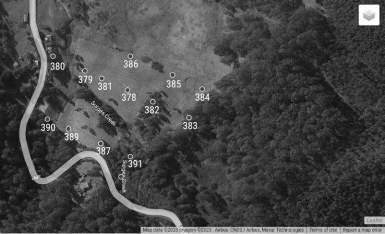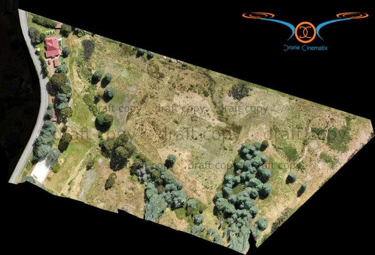
This kind of approach is centered on features, but in order to get really good stitching, the drone pilot must plan a regular control grid. This may have to extend off the property in order to get accurate imaging.
If there is an area that requires higher definition than the majority of the property, it is possible to photograph it individually and stitch it in later.
Getting surveys right requires two disciplines:
1. A photographer who understands the way a (wide angle) drone camera has an accuracy zone in the middle of the image and can plan and shoot a grid of images ready for ‘stitching’ together
2. familiarity with a image stitching software which enables putting the images into a mosaic and intelligently merging them together.
Whilst software has been available for many years to stitch conventional images, drone images introduce extra dynamics such as elevation and camera angle into the equation, and a good drone photographer has to learn one of the software platforms that can interpret this data from the images and help stitch it together accurately.


